Trails
Cardigan Mountain offers several scenic mountain top trails at one of the highest mountains in the area.
Park & Map Information:
Over 6 miles of hiking trails from easy to intermediate located in Dorchester NH. All trails are well marked. Highlights include the headwaters of the south fork of the Baker River, an old mica mine, vernal pools, and beaver dams. D Acres of NH is a non-profit educational homestead and working permaculture farm. We are open to the public. For more information, feel free to call 603-786-2366 or go online at www.dacres.org/
Bear Pond Natural Area is 923 acres of untouched natural land in the heart of Canaan, NH.
Open to pedestrian use only.
More Info Here!
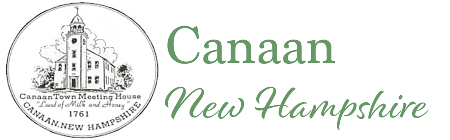
Twenty-three miles of converted Rails-to-Trails that extend from Lebanon to Grafton, NH. Perfect for walking and biking, the trail is even and offers easy access points all along route 4.
The Canaan Trailhead on Depot Street has a grassy picnic area on one side of the trail and easy access to downtown stores, restaurants, parks, and playground.
The Town Forest hosts a 1/2 mile long trail leading from a parking area to the an Educational Nature Hut, and from there, there are three shorter trails which begin & end at the hut.
Parking is on the north side of Rt 4, in a pull off, located approximately 1/2 mile past Lafortune Rd heading east.
More Information & Maps:
Canaan Conservation Commission
Map
The Town Forest is a uniquely forested wetland and home to the endangered Canada Warbler.
Co-created between the Recreation Department and Upper Valley HEAL (Healthy Eating Healthy Living), the Walking Guide maps out 7 Canaan Walks ranging from easy to hard. Most walks are readily accessible from a roadside parking location.
Gathering Places
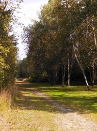
At the intersections of Routes 4 and 118, the Town Green is the focus of downtown Canaan’s commerce and community life. Regular events include Band Concerts, the Farmers’ Market, and Town Wide Yard Sale.
In addition to lovely benches, picnic tables, and a grandstand, the Common also houses the town’s memorial to Fallen Veterans.
For permission to post signs on the Common, please contact the Town Administrator at 523-4501 x5. Posting signs without permission is prohibited.
Elliott Field was originally created as a lighted little league field for Canaan youth at the Canaan Fair Grounds. In 2016, the Town of Canaan moved Elliott Field to a new location behind the Canaan Elementary School. It continues as a Town maintained lighted little league field.
In 1792, the people living in Canaan started construction on a Meeting House just off of what is now Canaan Street Lake. It was complete in 1793 and still graces the common on Canaan Street and serves as a focal point for the Canaan Historic District. Restoration and historical preservation are maintained by the Meeting House Preservation Committee.
The Meeting House is commonly used for weddings, history days, art shows, meetings, and our regionally famous, Meeting House Readings.
Williams Field was created in 1927 through a gift of Arthur Williams family of Orange. There is a lighted ball field, lighted horseshoe pits and a youth playground at the facility. The Field is used by softball and horseshoe leagues as well as inter-community games, school softball for the middle school, individual play and fund-raising games for local organizations. During the summer and fall it also hosts town wide yard sales and Old Home Day activities. A log cabin refreshment stand was donated by Charlie Neily in 1976.
The field is located at 1206 US Route 4.
The Williams Field Playground is designed to appeal to all ages and abilities. For older youth, there is a climbing and exercise bar complex. For the youngest kids there is an exploration area with slides, tunnels and exploration activities.
This area is ADA accessible for kids with limited mobility. The swing area has two seats that are enclosed and appropriate for toddlers and a fully enclosed ADA compliant swing for older children as well as regular swings. toys and new digging equipment (one ADA accessible) are located near the toddler area.
An intermediate play complex with climbing and slides is located just past the older youth exercise area. For parents, there is a 25′ by 25′ shaded area with two picnic tables right next to the toddler area.
The playground is located
at 1206 US Route 4.
Water
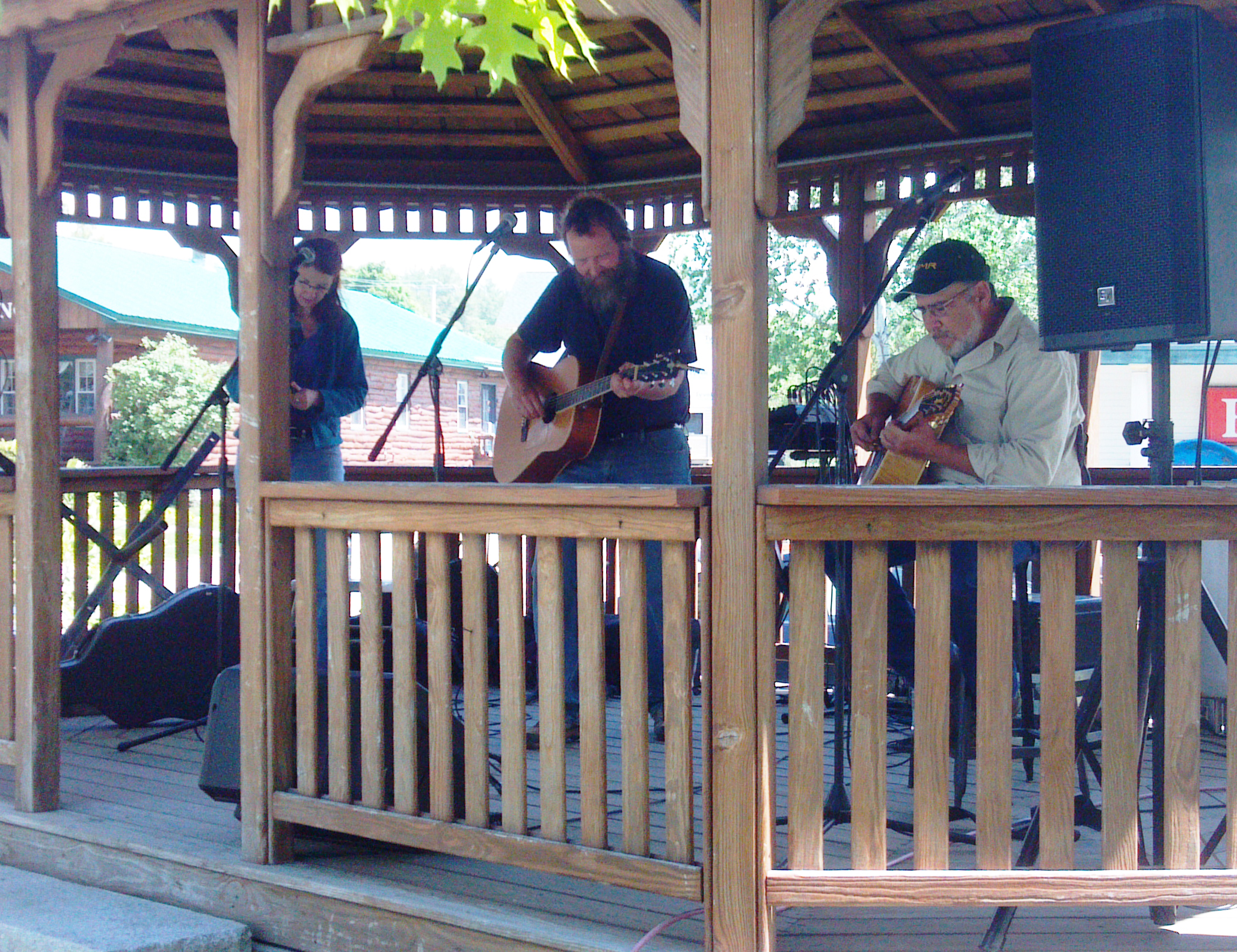
Goose Pond Boat Launch
Maintained by the State of NH and located a third of a mile south of the Hanover-Canaan Town Line on Goose Pond Road in Canaan. Goose Pond is 625 acres.
Canaan Street Lake Boat Launch
Maintained by the Town of Canaan on Canaan Street across from the Canaan Meeting House and at the Canaan Town Beach. Canaan Street Lake is 291 acres.
Clark Pond Boat Launch
Clark Pond Boat Launch is maintained by the State of NH and is located at the end of Clark Pond Road in Canaan, NH. Clark Pond is 104 acres.
The Town of Canaan maintains a public beach on Canaan Street opposite the Meeting House and next to the Museum on Canaan Street Lake. The beach has bathrooms and changing areas and parking. There is a shallow boat launch, and seasonal daytime lifeguard protection. There are picnic tables across the street at the Meeting House common.
There is a boat launch at the south end of the public access road at Clark Pond with parking.
There is a boat launch and picnic area at the north end of Goose Pond that is open to the public and maintained by NH Fish and Game. The area is also frequented by swimmers but there is no developed beach at the site. There is a small beach area near the dam at the south end of Goose Pond that is also open to the public.
Indian River is a very scenic river that flows out of the mountains in Dorchester, NH, connects with Orange Brook near the Motor Club, flows through Canaan Village and joins with Mascoma River west of the Village. Indian River is primarily not navigable.
Mascoma River has its headwaters at Canaan Street Lake and flows south to merge with Indian River and then flow through Enfield and Lebanon until it joins the Connecticut River. The Mascoma River basis is very scenic and follows about 12 miles of the Northern Rail Trail. Parts of Mascoma River are navigable by canoe or kayak. Mascoma River has a strong state sponsored Corridor Management Plan with ties to the Silvio Conte Connecticut River Refuge program; Mascoma Division.